


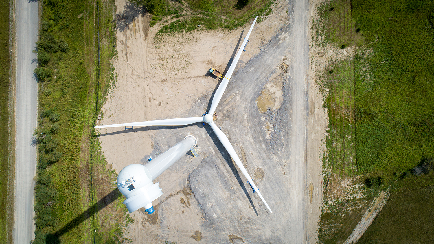
Hope you’re not afraid of heights! This photo was taken from ~320 feet in the air – all while our Corporate Communications Manager and in-house photographer Hank was standing on the ground.
One Energy’s drone equipment helps us expand our abilities for tasks like turbine blade inspections and capturing breath-taking photos of our Wind for Industry projects.
We were able to determine the approximate height this photo was shot from by using metadata. The “raw” version of this photo (or unprocessed version) contains data stored in the file. This data includes information like the time and date the photo was taken, the drone’s altitude, and the photo’s GPS location – it’s all called metadata.
By comparing this metadata with our site survey information, One Energy was able to calculate the height of ~320 feet! Here’s how:
The altitude stored in the photograph’s metadata is measured in “feet above sea level”. Since we also know the GPS location of this photo from its metadata, we can determine the site elevation of this specific turbine’s location and compare it to photograph’s altitude. The result tells us how high in the air our drone was when it captured this photo!